VenReal 3D
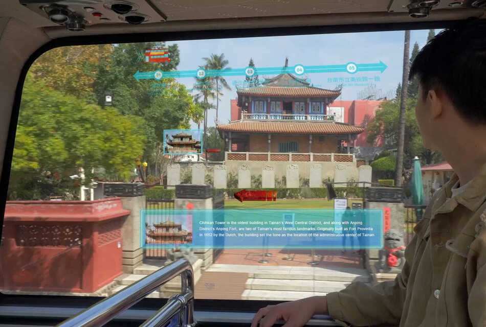
With just a few smartphone photos, VenReal 3D can instantly turn real-world spaces into high-fidelity 3D environments. Powered by 3D Gaussian Splatting (3DGS), a breakthrough in 3D scene reconstruction, VenReal 3D generates photorealistic models from smartphone or drone imagery with up to 95% fidelity in under an hour. This drastically reduces the time and cost of 3D modeling. When integrated with a Geographic Information System (GIS), it visualizes real-time urban environments, boosting design accuracy and communication efficiency. A powerful multi-model fusion algorithm enables seamless stitching and repair of large-scale scenes, providing a digital foundation for smart city development. VenReal 3D also supports disaster simulations of floods and earthquakes, offering critical insights for prevention, planning, and emergency response.
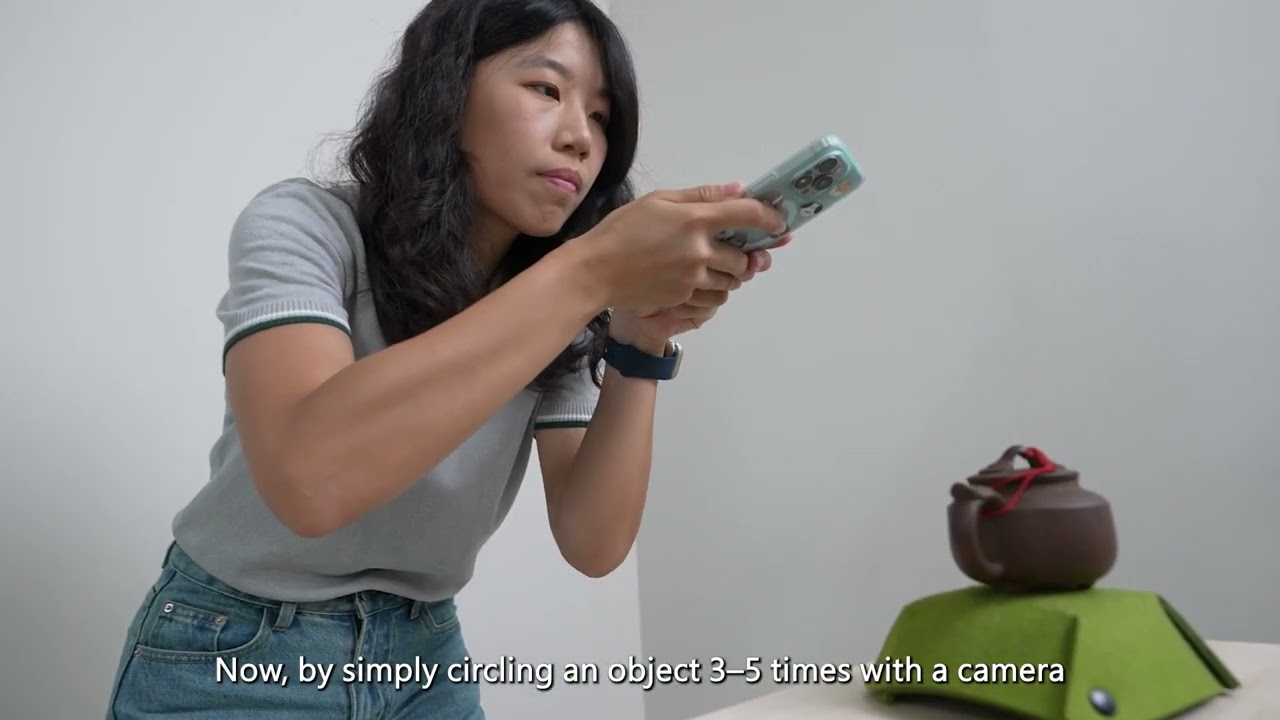

VenReal 3D generates photorealistic models from drone imagery with up to 95% fidelity in under an hour.

It can be integrated with GIS to visualize real-time urban environments.